|
|
|
Hydrografic Data Management in WEB GIS
We are prepared to transform your hydrographic data into WEB based Hydrographic Database Mangement System with GIS tools.
Profound description of the version serving hydrographers and compilatin of electronc charts in Estonia:
https://hydrogis.online
HIS (click to enlarge)
|
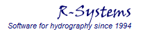
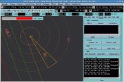
The Minehunting Operations and Information System MOIS
supports all the phases of the mine hunting operations: planning, operation and reporting. The data handling and data exchange is entirely based on the NATO AML-SBO (Additional Military Layers, Small Bottom Objects) electronic chart concept.
|
|
|
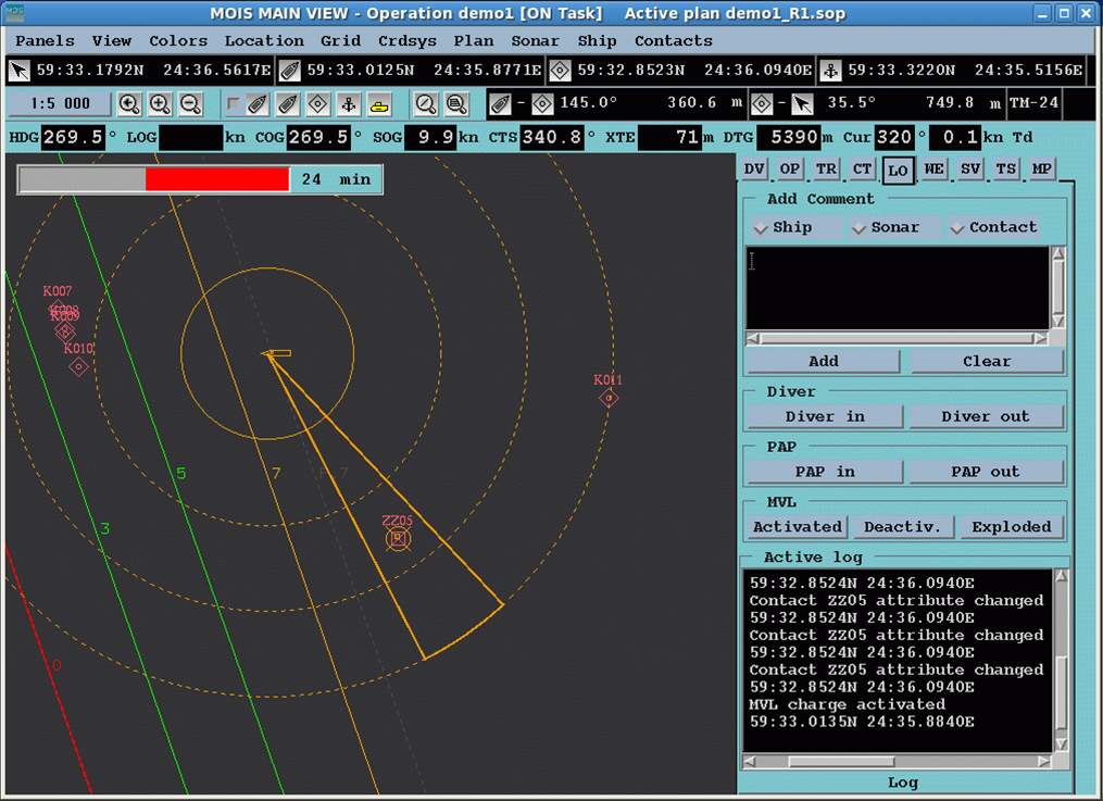
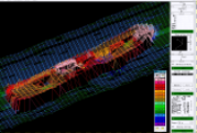
Hydrographic Survey and Data Management Systems RAN and AEGIR
provides bathymetric surveying in line with the highest international standards of navigation safety. Navigation charts corresponding to the international IHO standard are used.
Survey software RAN provides tools for survey planning, bathymetric data store, visualization and quality analysing.
Post-processing software AEGIR checks and filters out erroneous bathymetric data.
|
|
|
|